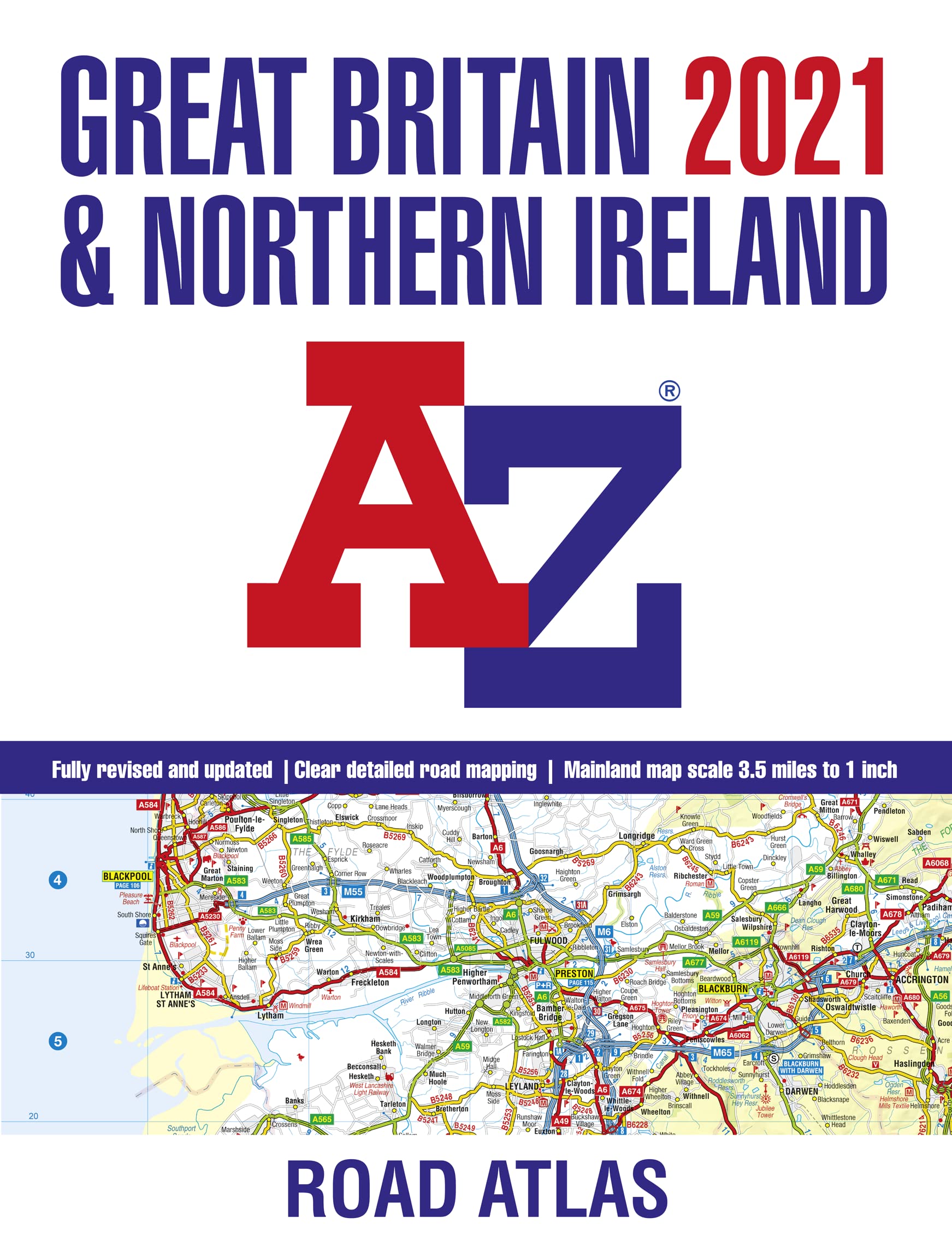
Fully revised and updated for 2021. It contains 89 pages of clear detailed road mapping at a mainland map scale of 3.5 miles to 1 inch. Includes 11 pages of main route mapping covering Greater London, Birmingham, and Manchester; route planning maps; mileage chart with average journey times; information on motorway junctions with limited interchanges; 70 city, and town center street plans; 16 port and airport plans; Channel Tunnel terminus maps; index to cities, towns, villages, hamlets, major destinations, and selected places of interest with postcodes for sat-nav use; and map reference information also in French and German. Geographers’ A-Z Map Co Ltd is Britain’s leading street map publisher.
| Gtin | 09780008388188 |
| Age_group | ADULT |
| Condition | NEW |
| Gender | UNISEX |
| Product_category | Gl_book |
| Google_product_category | Media > Books |
| Product_type | Books > Subjects > Travel > Europe > Great Britain > Northern Ireland |